 |
 |
|||||||||||||||||||
|
||||||||||||||||||||
|
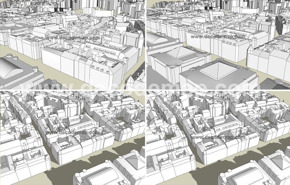
There is an increasing need for the 3D models of urban areas for applications like town planning, microclimate analysis or transmitter placement in telecommunication. 3D city model plays a very prominent role now a day's that is well suited for presenting even very complex problems in an easily accessible manner. This realistic visualization provides an easy and comprehensive overview of major construction projects, urban design, development and other high level urban investments. 3D-visualisation concept for city environment is a professional basis for planning, simulation, renovation and development. It gives a provision to the decision makers to make a realistic assessment of all consequences of a decision. Decode is well equipped to produce 3D City model in a variable degree of detail (also called LoD, Level of Detail) which makes the tool usable for users with their professional focus and level of expertise. Depending on the required accuracy and Level of detail, Decode has developed two different ways of doing the 3D building models:
|
 |
||||||||||||||||||
 |
||||||||||||||||||||
 |
||||||||||||||||||||
| 3D City Model | ||||||||||||||||||||
|
|
||||||||||||||||||||
| webmaster |
|
Home |
|
Sitemap |
|
© Decode 2021 |